Most Popular Walks this Month
Enjoy the walks by being guided by the app
-
5.2 miles/8.4 km - Moderate-strenuous
Rough Tor and Brown Willy
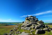
Rough Tor and Brown Willy
5.2 miles/8.4 km - Moderate-strenuous
A mostly circular walk to Cornwall's two highest tors, passing prehistoric remains including the holy well, summit cairns and settlements.
-
3.4 miles/5.5 km - Easy-moderate
Luxulyan Valley circular
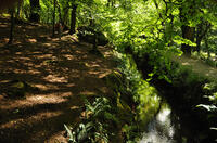
Luxulyan Valley circular
3.4 miles/5.5 km - Easy-moderate
A circular walk following the leats and horse-drawn tramways through the World Heritage site of the Luxulyan Valley to the massive viaduct which carried the tramways towards Newquay and water to winch the trams up the valley with a huge waterwheel, recommended in guidebooks as early as the 1920s "as one of the most glorious walks in all Cornwall".
-
3.2 miles/5.2 km - Easy
St Erth, River and Pits
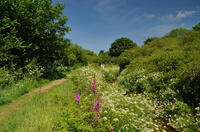
St Erth, River and Pits
3.2 miles/5.2 km - Easy
A circular walk from St Erth along the River Hayle, through woods and fields to Porthcollum then returning past the St Erth Pits nature reserve, with views over the Hayle valley which was once a lagoon separating an island of West Penwith from the Cornish mainland.
-
5.8 miles/9.3 km - Easy-moderate
St Stephen and Tregargus Valley
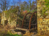
St Stephen and Tregargus Valley
5.8 miles/9.3 km - Easy-moderate
A circular walk from St Stephen along a tributary valley of the River Fal to the hamlet of Coombe via some of Cornwall's best preserved remains of the Victorian and early 20th Century China Stone industry
-
4.3 miles/6.9 km - Easy
Mawgan Porth to St Mawgan
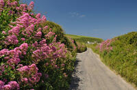
Mawgan Porth to St Mawgan
4.3 miles/6.9 km - Easy
A mostly circular walk from Mawgan Porth along the Vale of Lanherne, following the river Menalhyl to St Mawgan and returning past the 800-year-old cloistered Convent where the sanctuary light has been burning for hundreds of years.
-
4.9 miles/7.9 km - Easy-moderate
Constantine Bay to Porthcothan

Constantine Bay to Porthcothan
4.9 miles/7.9 km - Easy-moderate
A circular walk between Constantine Bay to Porthcothan via nature's swimming pool at Treyarnon beach and a spectacular series of islands, headlands and tiny coves named after wine and pepper smuggled there, and the rock where a customs officer was left by smugglers to drown.
-
4.4 miles/7 km - Easy-moderate
Portscatho to Pendower Beach
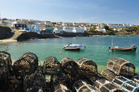
Portscatho to Pendower Beach
4.4 miles/7 km - Easy-moderate
A circular walk along two miles of beaches around Gerrans Bay which were once used by Portscatho smugglers to land contraband and strewn with the wreckage of sailing ships that overshot Falmouth Harbour and ran aground on The Whelps reef.
-
3.8 miles/6.8 km - Moderate
Minions and the Cheesewring

Minions and the Cheesewring
3.8 miles/6.8 km - Moderate
A circular walk around the iconic landmarks at Minions, including The Hurlers stone circles, The Cheesewring and the engine houses of the South Phoenix Mine.
-
3.4 miles/5.5 km - Easy
Botallack Head and Levant Mine
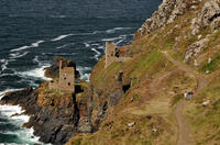
Botallack Head and Levant Mine
3.4 miles/5.5 km - Easy
A circular walk around Cornwall's most iconic mining remains, used for the filming of the BBC's Poldark series
-
3.7 miles/5.9 km - Easy-moderate
Lerryn River and Tivoli lost gardens
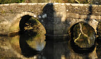
Lerryn River and Tivoli lost gardens
3.7 miles/5.9 km - Easy-moderate
A woodland and riverside walk at Lerryn - thought to be the inspiration for the book The Wind In The Willows - and the lost pleasure gardens of Tivoli Park
Download the iWalk Cornwall app and use the QR scanner within the app to find out more about any of the walks above.


